WEST JUNEAU WEEKLY PICTURE
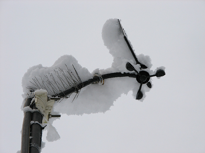
Snow Covered Wind Instruments

Picture by David Kent, 7:50 a.m. AST, February 25, 2008, © 2008
WEST JUNEAU WEEKLY PICTURE
Snow Covered Wind Instruments

Picture by David Kent, 7:50 a.m. AST, February 25, 2008, © 2008
WEST JUNEAU WEEKLY PICTURE
Aerial View of Downtown Juneau Surrounding Gold Creek

From top to bottom: Upper right – part of Douglas Island; Gastineau Channel; Highway 7 also known as Egan Drive and formerly Outer Drive; Foodland Center on the left and Parkshore Condominiums on the right; Federal Building; Casey-Shattuck Subdivision residential area – “The Flats”; Northern Light United Church is the A-Frame shaped building; Westridge Condominiums are in the right foreground.
Picture by David Kent, Morning, July 4, 1987, © 2008
WEST JUNEAU WEEKLY PICTURE
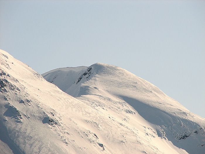
Snow Covered Mt. Roberts

Mt. Roberts, 3,819 feet, as viewed from Blueberry Hills on Douglas Island.
Picture by David Kent, 9:58 a.m. AST, April 3, 2007, © 2008
WEST JUNEAU WEEKLY PICTURE
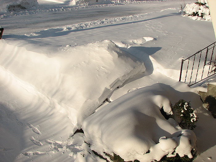
Sculpted Snow in Front Yard

Picture by David Kent, 10:24 a.m. AST, February 7, 2008, © 2008
WEST JUNEAU WEEKLY PICTURE
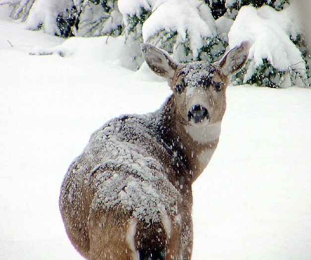
Sitka Black-Tailed Deer in West Juneau

Picture by O. Richard (Dick) Kent, 10:32 a.m. AST, February 2, 2008, © 2008