WEST JUNEAU WEEKLY PICTURE
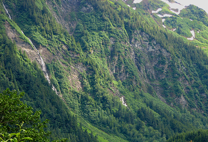
Snowslide Gulch at the eastern end of Last Chance Basin
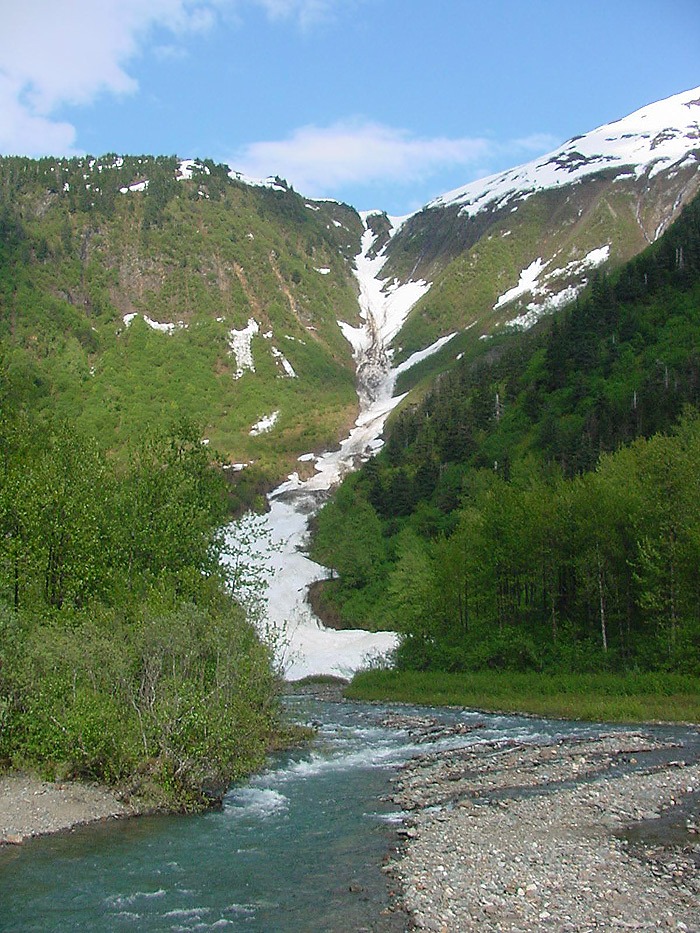
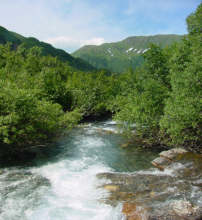
Last Chance Basin is separated by a spur ridge of Mt. Roberts from downtown Juneau, Alaska. Gold Creek (looking upstream) is in the foreground and the north end of Gold Ridge on Mt. Roberts is at the upper right. The vertical distance from Gold Creek at 340 feet above sea level (MLLW) at the camera, to the top of the gulch at 2,260 feet, is 1,920 ft. The Jualpa Camp of the Alaska Juneau Gold Mining Co. is out of the picture on the right. Snowslide Gulch is formed by the Silverbow Fault which stretches west from Silver Bow Basin on the other side of Snowslide Gulch, to the northwest end of Douglas Island. The fault forms the gap for Gold Creek between Mt. Juneau and Mt. Maria which is at the NW end of the spur ridge of Mt. Roberts.
Picture by O. Richard (Dick) Kent, 5:42 p.m. ADT, May 29, 2008, © 2008
