WEST JUNEAU WEEKLY PICTURE
Above Auke Bay Looking Southeast
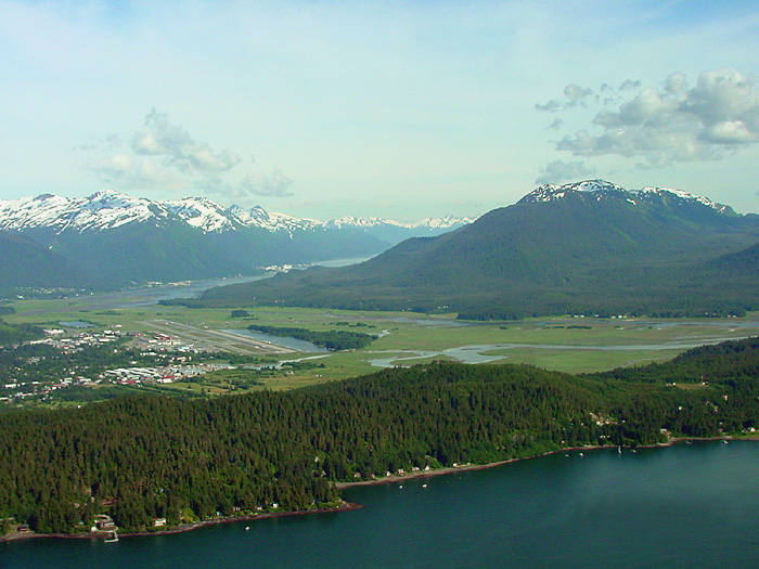
Foreground: Mendenhall Peninsula with “The Cut” at the far right (one of the approaches to the Juneau International Airport). Center left: The Juneau International Airport with adjacent float plane basin. Remainder of the middle portion: Mendenhall Wetlands State Game Refuge at low tide with part of the Mendenhall River visible at the near end of the runway and visible over the center of the Mendenhall Peninsula. Douglas Island is on the upper right with Fish Creek Valley visible. At the upper left from left to right: Small part of Blackerby Ridge, then Mt. Juneau, Mt. Roberts, Middle Peak and West Peak and Salisbury Ridge with Gastineau Channel at the foot of those mountains. Downtown Juneau is at the foot of Mt. Juneau and of Mt. Roberts. In the far distance in the center of the picture are the mountains on the far side of Taku Inlet.
Picture by O. Richard (Dick) Kent, 5:18 p.m. ADT, June 28, 2007, © 2008
