WEST JUNEAU WEEKLY PICTURE
After a Snowfall – Juneau 25 Minutes before Sunrise
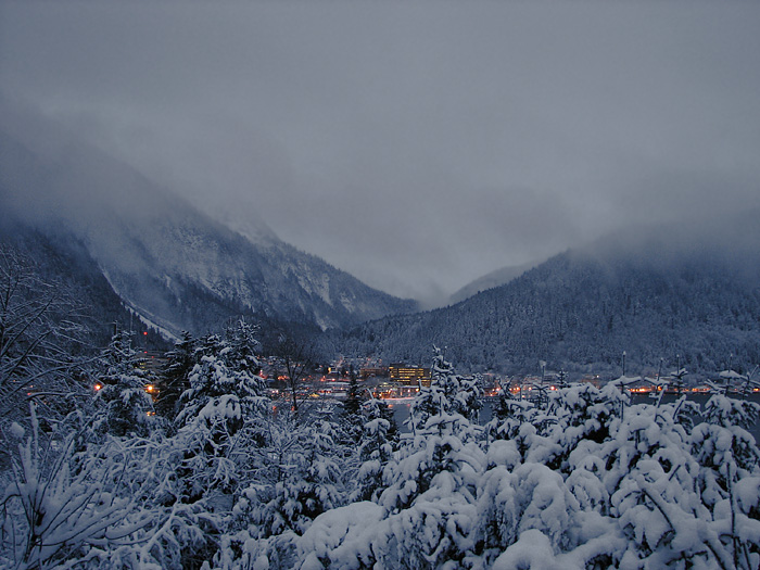
Picture by David Kent, 8:09 a.m. AST, December 9, 2008, © 2008
WEST JUNEAU WEEKLY PICTURE
After a Snowfall – Juneau 25 Minutes before Sunrise

Picture by David Kent, 8:09 a.m. AST, December 9, 2008, © 2008
WEST JUNEAU WEEKLY PICTURE
In Tracy Arm Fjord – 60 miles SE of Juneau by Water
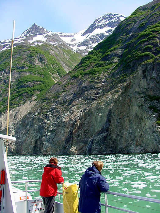
Picture by O. Richard (Dick) Kent, 11:53 a.m. ADT, May 25, 2005, © 2008
WEST JUNEAU WEEKLY PICTURE
A Look Back at the Sunny Point Intersection Highway Project
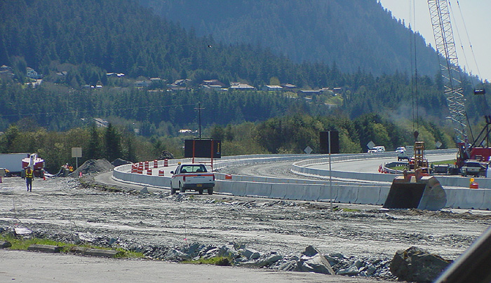
Southbound: Mountainside Estates in the background. Mt. Juneau at the upper right.
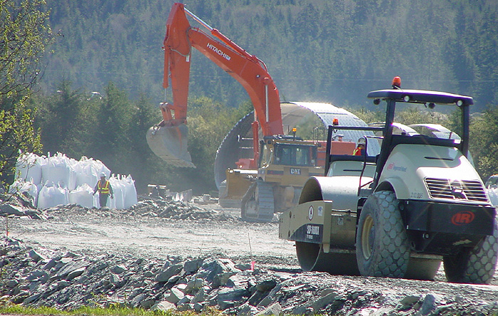
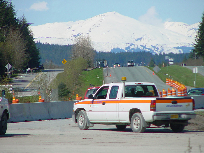
Northbound: Chilkat Mountains in the distance, Sunny Drive is on the left.
The New Sunny Point Intersection was opened to the public with
unrestricted vehicular traffic, Thursday afternoon, November 6, 2008.
The project built the first diamond interchange in Juneau and consisted of:
|
State of Alaska Department of Transportation and Public Facilities Project Link
Pictures by O. Richard (Dick) Kent, 10:53 – 10:55 a.m. ADT, May 18, 2007, © 2008
WEST JUNEAU WEEKLY PICTURE
Mt. Juneau at 2:58 p.m. November 6, 2005
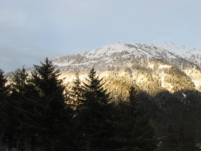
Picture by David Kent, 2:58 p.m. AST, November 6, 2005, © 2008
WEST JUNEAU WEEKLY PICTURE
Gray Clouds
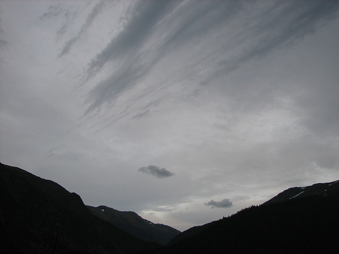
Looking Northeast from West Juneau from left
to right: Mt. Juneau, Mt. Juneau Ridge, Mt. Roberts.
Picture by David Kent, 5:48 p.m. ADT, September 30, 2008, © 2008