WEST JUNEAU WEEKLY PICTURE
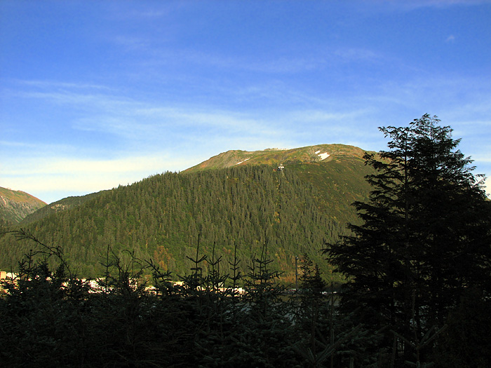
Mt. Roberts in Autumn

Picture by David Kent, 5:17 p.m. ADT, September 28, 2009, © 2009
WEST JUNEAU WEEKLY PICTURE
Mt. Roberts in Autumn

Picture by David Kent, 5:17 p.m. ADT, September 28, 2009, © 2009
WEST JUNEAU WEEKLY PICTURE
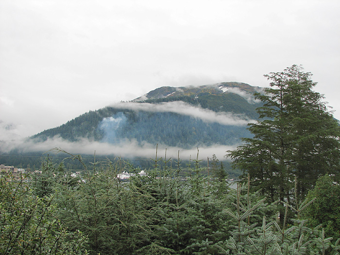
Ribbons of Fog and Mt. Roberts

Picture by David Kent, 12:55 p.m. ADT, September 22, 2009, © 2009
WEST JUNEAU WEEKLY PICTURE
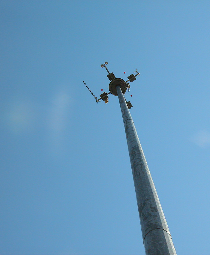
JAWS Wind Sensor Location Between Sunny Point and Lemon Creek

The wind sensors at the top of the steel pole are part of JAWS, the Juneau Airport Wind System which together with other wind sensors and Doppler wind profilers, provide information on winds, wind shear, and turbulence in the three dimensional space over Gastineau Channel and the surrounding area. The information is used for take-offs and landings at the Juneau International Airport. On the platform on the left the tail and tiny part of the head of an American Bald Eagle can be seen.
Picture by O. Richard (Dick) Kent, 10:42 a.m. ADT, May 22, 2009, © 2009
No Weekly Picture Today.
WEST JUNEAU WEEKLY PICTURE
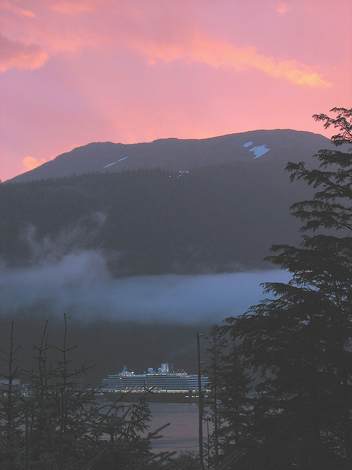
Holland America Line’s Westerdam Headed
for the Dock with Mt. Roberts in the Background

The upper terminal of the Mt. Roberts Tramway is visible on the mountain.
Picture by David Kent, 6:50 a.m. ADT, September 23, 2009, © 2009