WEST JUNEAU WEEKLY PICTURE
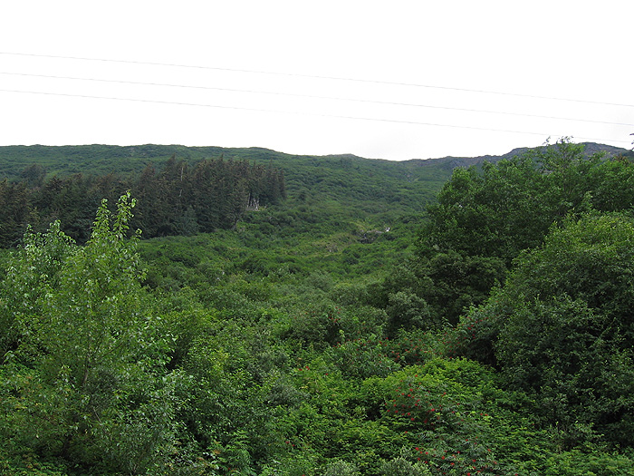
A Portion of the Snowslide Creek Avalanche Path on Mt. Roberts

Picture taken from Thane Road at the base of Mt. Roberts at an altitude of just above sea level. Skyline at the right top is at approximately 3,300 feet. The horizontal distance from the photo point to the skyline in the picture is 9/10ths of a mile (slope distance not calculated). AEL&P’s 69 Kilovolt Line 2 transmission line from the Thane Substation is visible. This line follows the route of the line originally built in 1910 to carry power from the Sheep Creek hydroelectric powerhouse to the Treadwell group of mines on Douglas Island.
Picture by Chris Shay, July 25, 2010 A.D., © 2013 A.D. by Chris Shay