On August 25, 1979 I took the pictures that because of the technology of today I could produce this panorama.
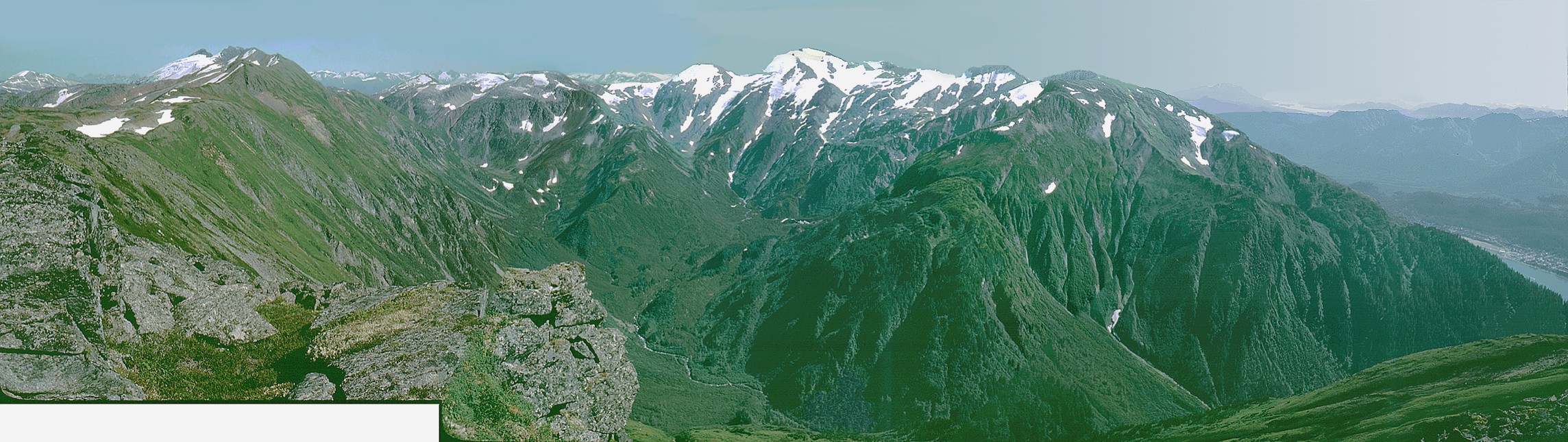
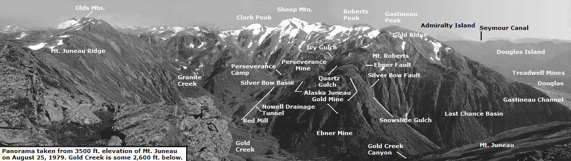
The distance from where I took the picture to Sheep Mountain (see picture below) is 3-7/8 miles. From my house I can see the Mt. Juneau Ridge and the tip-top of Olds Mountain, Mt. Roberts, Gastineau Peak, Gold Ridge, and Last Chance Basin.
There is a major flaw in the image though…because the far right portion of the image was shot from too great a distance from the remainder of the other pictures, the difference in perspective causes a problem in the lower part of Snowslide Gulch.
This a reduced size black and white copy of the panorama with labels showing the features in the panorama.
Photography by David Kent